HARE HARE Irrigation Project
Publication in preparation

HARE

IRRIGATION PROJECT

An Irrigation Engineering Book Based on the Original Thesis

Mesfin Hagos · Mitiku Bedru · Seid Shimelis · Tamir Mitiku

The purchase link will be activated only after formal publication.
Drag or swipe the book to rotate it. The model uses the planned 430-page white-paper thickness.
About the book

Preserving an Engineering Work and Re-reading It with Experience

The HARE Irrigation Project book is based on the original 1995 engineering thesis prepared at the former Arba Minch Water Technology Institute, now Arba Minch University, by Mesfin Hagos, Mitiku Bedru, Seid Shimelis and Tamir Mitiku.

Rooted in the HARE River irrigation study near Arba Minch in southern Ethiopia, the work presents the design of diversion headworks, canal layouts, drop structures, silt-control components, drainage and associated hydraulic infrastructure.

It also addresses water-demand assessment, irrigation requirements, hydrological analysis, canal design, head regulators, cross regulators, weir design and the detailed engineering methodology used by the original team.

The publication is now being developed as more than a reproduction of the historical report. The original calculations remain visible and respected, while separate HARE Revisited sections document how GIS, digital terrain, reconstructed rainfall, HEC-HMS, SWAT and present field evidence change or strengthen the modern engineering understanding of the project.

In this form, the book can serve simultaneously as a historical engineering record, a modern technical case study, and a reference for students and practitioners interested in irrigation and water-resources development.
HARE Revisited · Current technical work

The Book Now Has a Modern Engineering Layer

The modern reassessment is kept distinct from the original 1995 analysis. This allows the book to preserve what the original team calculated while documenting what can now be learned through current data, GIS, hydrological modelling and field evidence.

Completed

HEC-HMS Design Flood

114.4 m³/s

Event-based rainfall-runoff modelling has been completed for the Hare Weir catchment. The present 50-year HEC-HMS design-event simulation produces an outlet peak discharge of 114.4 m³/s.

Two simulations completed

SWAT Watershed Model

17 subbasins · 161.95 km²

DEM-based watershed delineation, HRUs, NASA POWER climate preparation and two successful continuous SWAT simulations have been completed. The analysis now covers water balance, daily streamflow, groundwater contribution, erosion and sediment behaviour.

Active engineering assessment

Sediment & Headworks

58.4 Mg/ha

The present SWAT reference simulation indicates an average upland sediment yield of about 58.4 Mg/ha, together with strong simulated channel deposition. Field observations around the Hare diversion also show significant gravel, sand and finer sediment accumulation.

Modelling interpretation. HEC-HMS and SWAT are not alternative estimates of the same quantity. HEC-HMS represents event-scale design-flood response, while the present SWAT analysis represents continuous daily watershed behaviour, water balance, erosion and sediment processes. The book therefore documents the two modelling systems separately before bringing their engineering implications together.
Planned print edition

A Realistic 430-Page White-Paper Book Model

The 3D model is proportioned around the planned paperback edition. These specifications remain provisional until the interior is completely typeset and the final page count is locked.

Trim size 7.50 in × 9.25 in KDP paperback trim
Planned extent 430 pages Final count may change during typesetting
Interior White paper Planned black-and-white technical interior
Binding Paperback Professional technical edition
Planned spine 0.968 in 430 pages × white-paper factor
Full cover width 16.218 in Including 0.125 in outside bleed
Full cover height 9.50 in Including top and bottom bleed
Original study 1995 Engineering legacy edition in preparation
Prepress note. The current cover artwork is being used here as the visual source for the 3D model. Before publication, the final wraparound cover should be rebuilt or checked against the publisher's official template after the manuscript's final page count is confirmed.
Full cover

Front, Spine and Back as One Engineering Narrative

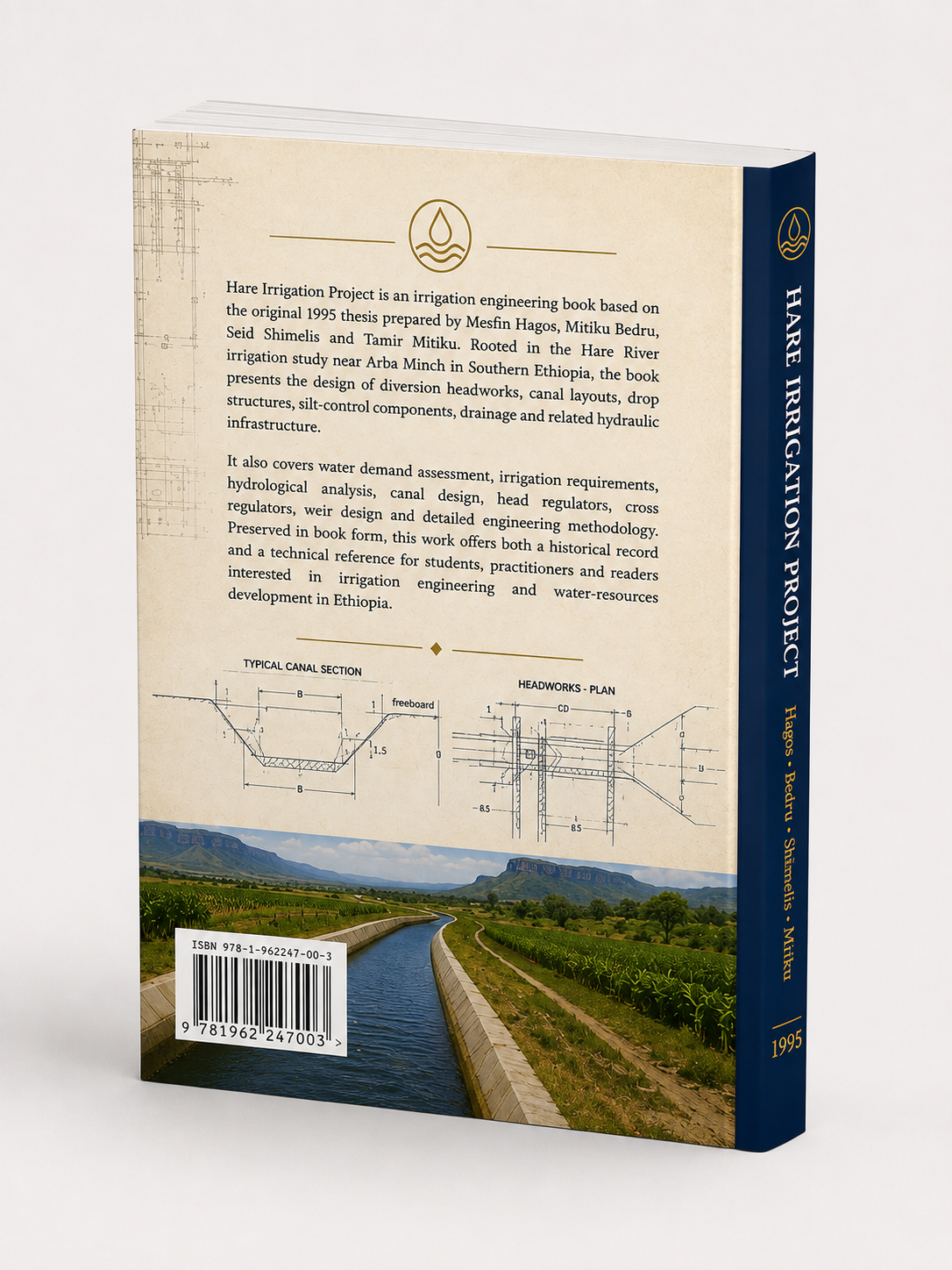
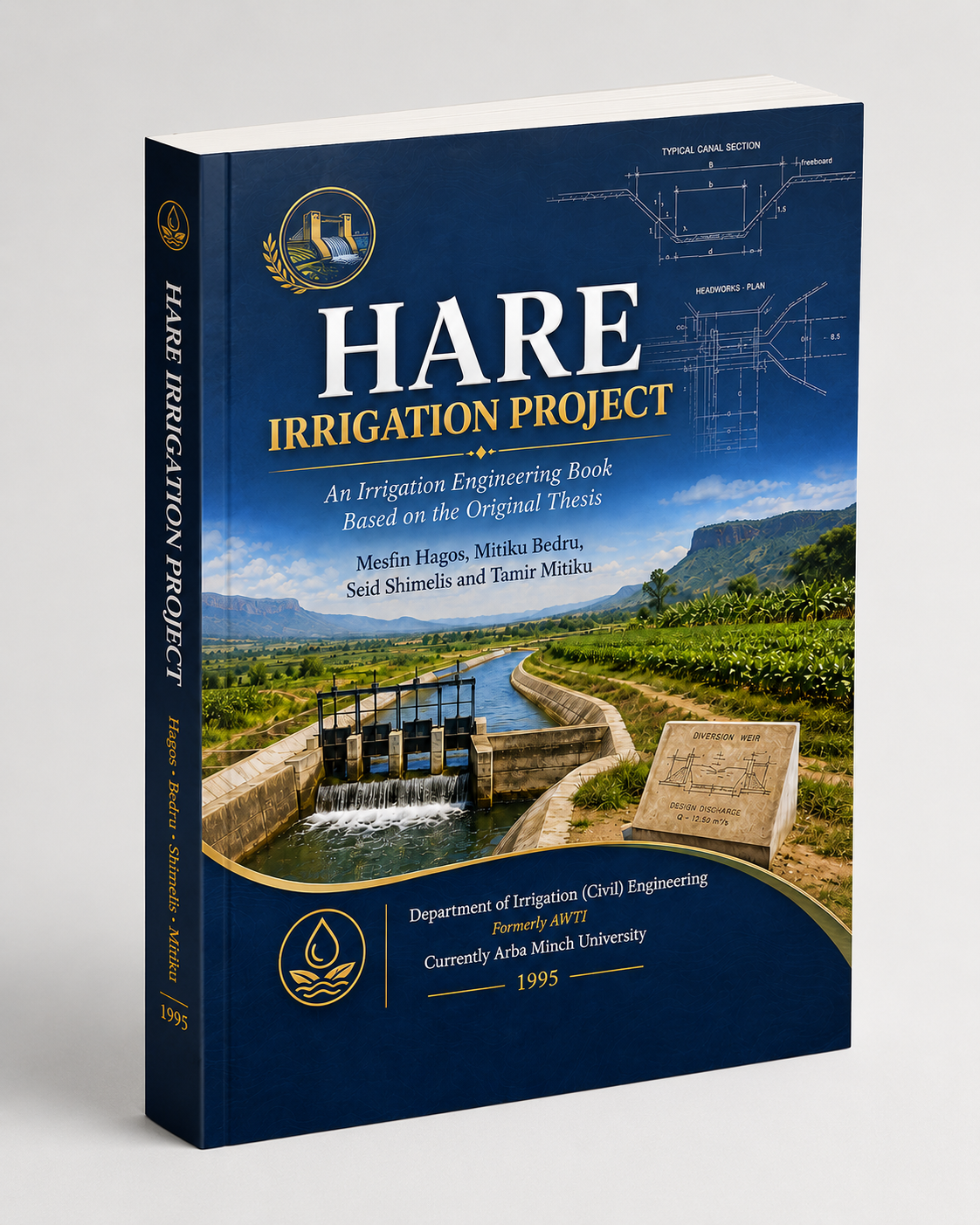
The cover intentionally combines the project's engineering identity with the agricultural landscape it was designed to serve: irrigation canals, diversion structures, typical canal sections and headworks drawings.

The front cover establishes the HARE project as a serious irrigation-engineering work. The spine preserves the authors and the 1995 origin. The back cover explains the technical scope and the value of preserving the study for future engineers and readers.

The developing HARE Revisited material adds a second narrative inside the book: the original engineering study remains the historical foundation, while modern GIS, hydrology and model results provide a transparent technical comparison with present understanding.

Full HARE Irrigation Project wraparound cover showing back, spine and front
Current wraparound artwork — used as the source for this web model.
Original engineering team

Four Engineers, One Project, Decades of Professional Experience

The publication preserves the collective work of the four original HARE team members while linking the 1995 engineering study to the professional paths and technical experience that followed.

Publication link intentionally inactive

The HARE book page is designed to stand on its own as the permanent project-book home while the technical manuscript continues to develop. When the final edition is published, this section can be connected directly to Amazon KDP or another publisher without redesigning the page.

The planned 430-page extent remains provisional because ongoing HARE Revisited chapters — including hydrology, HEC-HMS, SWAT and sediment assessment — may affect the final manuscript length during typesetting.

In preparation