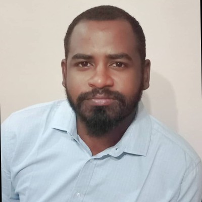
Professional Summary
Sudanese Water Resources Engineer with strong and growing expertise in hydrological and hydraulic modelling, flood-risk management, geospatial analysis, remote sensing and climate-resilient water-resources planning. Khalid combines civil-engineering knowledge with practical command of HEC-HMS, HEC-RAS 2D, QGIS, ArcGIS, Python and Google Earth Engine. His work has supported flood mapping, dam-break assessment, rainfall-runoff modelling, groundwater and water-harvesting investigations, irrigation-water estimation, crop mapping and rehabilitation of water-supply networks and treatment plants. Through assignments connected with the Gezira Scheme, Eastern Sudan, Kassala and the IWA Sudan Initiative, he has demonstrated determination, technical versatility and a clear commitment to using modern engineering and Earth-observation technologies to strengthen water security and protect vulnerable communities in Sudan and the wider region.
Expertise
Specialties
Projects & Contributions
-
Real-Time Flood Mapping and Crop Damage Assessment – IWA Sudan Initiative
Serves as Lead Project Engineer in the development of a real-time flood-mapping and crop-damage assessment dashboard for vulnerable regions of Sudan. Developed Python and Google Earth Engine workflows using Sentinel-1 Synthetic Aperture Radar data to map flood extent in Sennar State and generate temporal composite imagery for rapid flood assessment. -
Hydrological and Hydraulic Modelling for Eastern Sudan
Developed catchment and meteorological models using HEC-HMS for data-scarce watersheds in Eastern Sudan. Conducted rainfall-runoff modelling to evaluate water-harvesting opportunities and the feasibility of proposed dam structures for project stakeholders. -
Two-Dimensional Dam-Break Flood Modelling
Developed HEC-RAS 2D models to simulate dam-break flood-wave propagation through a complex khor system. Assessed predicted flood depth, flow velocity, inundation extent and arrival time to support flood-risk analysis and infrastructure planning. -
Groundwater and Water-Harvesting Suitability Assessment – Sinkat
Supported the Sinkat Baseline Study for LM International by identifying suitable groundwater-resource and water-harvesting locations and assessing appropriate agricultural practices. Applied GIS, geological mapping, groundwater data processing, recharge analysis and suitability-mapping techniques. -
Gezira Scheme Irrigation and Crop-Area Assessment
Contributed to work for the Ministry of Agricultural and Natural Resources involving identification of agricultural areas and estimation of irrigation-water requirements in the Gezira Scheme. Used satellite imagery, GPS field observations and supervised crop classification to analyse crop areas. -
R-WASH Water-Supply Rehabilitation – Kassala, Sudan
Contributed to a UNICEF and UNHCR-supported rural water, sanitation and hygiene initiative involving rehabilitation of water-supply networks and water-treatment plants in Kassala, Sudan. -
Rainfall Analysis and Geospatial Automation
Developed automated Python workflows using Pandas, Matplotlib and the Google Earth Engine API to extract CHIRPS and GPCC rainfall rasters, calculate statistical indicators, generate multi-year time series and produce analytical outputs for hydrological studies. -
Groundwater-Recharge and Terrain Analysis
Processed digital elevation models to calculate slope, flow accumulation and the Topographic Wetness Index for identifying potential groundwater-recharge and seepage zones. Digitized geological structures and applied line-density analysis to identify areas with elevated groundwater potential. -
Research Assistant – Hydraulic Research Center, Wad-Madani
Supported remote-sensing and field investigations in the Gezira Scheme using Sentinel-2, Landsat 8, GPS field data, ODK Collect and ERDAS IMAGINE. Produced crop maps using supervised Maximum Likelihood Classification and compared classified crop areas with reference information. -
Teaching Assistant – University of Khartoum
Supported civil-engineering education through tutorials, project supervision and student evaluation in reinforced-concrete structural design and highway and transportation engineering.