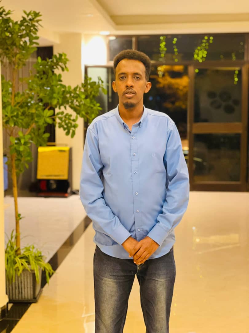
Professional Summary
Water Resources Engineer and GIS and Remote Sensing Specialist with academic and research training in hydraulic engineering, hydrology, hydrogeology, and geospatial analysis. Holds an MSc in Hydraulic Engineering from Arba Minch University, Water Technology Institute (2026), and a BSc in Civil Engineering from Gollis University (2020). His research on groundwater potential assessment in the Burao Watershed, Togdheer, Somaliland, applies GIS, remote sensing and the Analytical Hierarchy Process (AHP) to thematic mapping, weighted overlay modelling, and validation against groundwater-source data. His interests include sustainable groundwater development, watershed management, drought resilience, climate adaptation and evidence-based water resources planning.
Key Expertise
Major Projects and Contributions
-
Groundwater Potential Assessment in Burao Watershed, Togdheer, Somaliland
Research integrating GIS, remote sensing and the Analytical Hierarchy Process (AHP) to identify and classify groundwater potential zones in the Burao Watershed, Togdheer, Somaliland. Work included thematic-layer preparation, spatial modelling, weighted overlay analysis and validation using groundwater-source data.
 Scan to download
 Official Google Play version
 Join the AExperts