Professional Summary
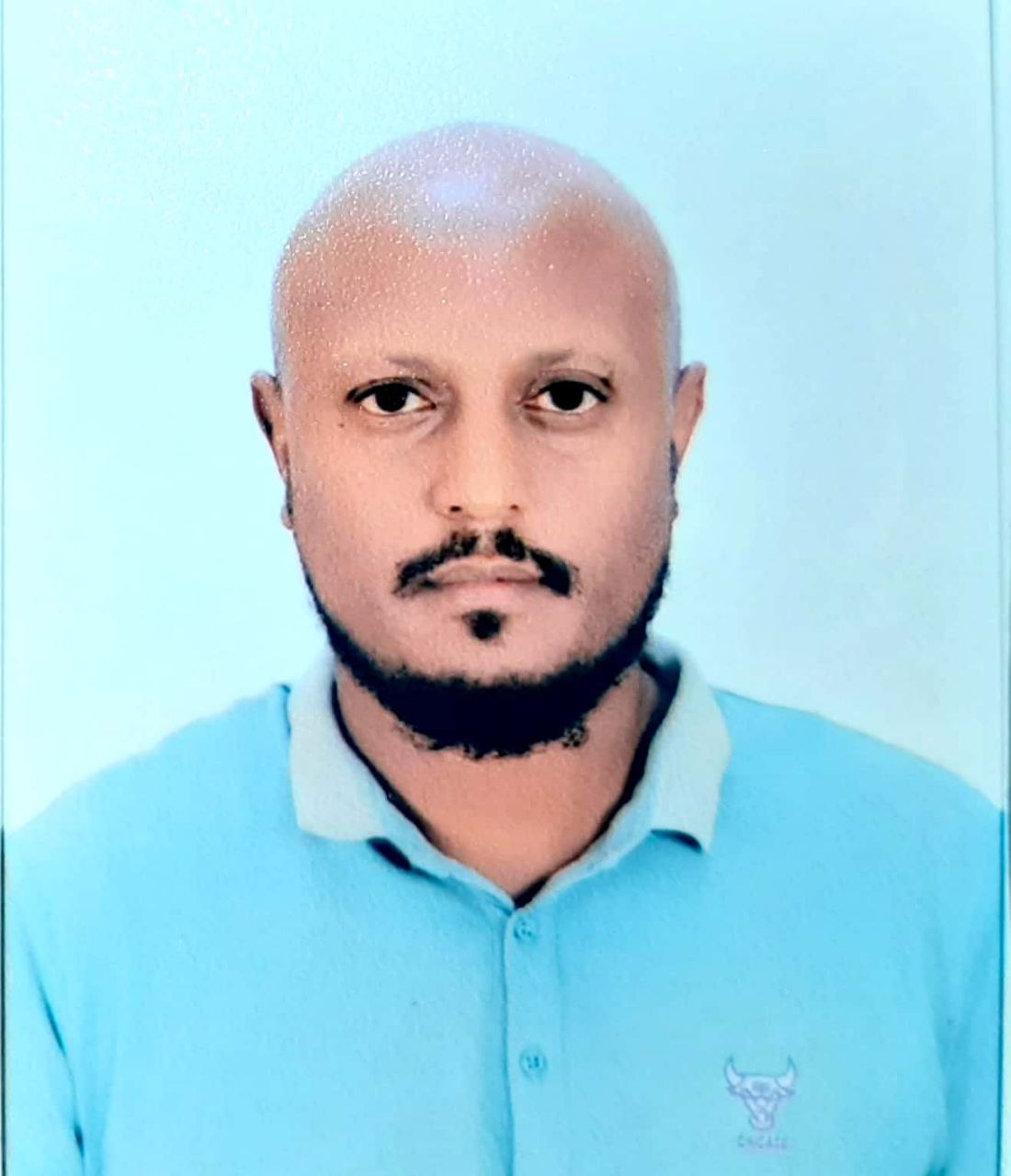
Dawit Tsegaye Demissie is an accomplished Ethiopian Hydrogeologist, Geophysicist and Water Resource Engineer with more than sixteen years of progressive professional experience across groundwater science, applied geophysics, deep-well development, water-supply engineering and regional water-resources management. His career combines intensive field investigation with high-level consultancy and project supervision, covering hydrogeological mapping, aquifer characterization, geophysical surveying, water-point and borehole siting, deep water well drilling supervision, well logging, groundwater sampling, pumping-test analysis, groundwater mapping, groundwater modelling, IWRM, contract administration, design and BOQ review, bid-document preparation and construction supervision. He has contributed to major assignments supported or commissioned by IGAD, the World Bank, UNICEF, the Ethiopian Ministry of Water and Energy, Amref Health Africa, Tulu Moye Geothermal Operation, the International Rescue Committee and private-sector development programmes. His recent work includes the Shabelle Transboundary Aquifer System under the Horn of Africa Groundwater for Resilience programme, groundwater potential and development mapping in Djibouti, and World Bank-supported groundwater resilience work in Ethiopia. Dawit represents a rare combination of field hydrogeology, geophysical interpretation, practical drilling judgement, groundwater systems thinking and emerging regional-scale numerical modelling expertise. His professional ambition is to contribute to large and meaningful groundwater and water-resources development programmes that can improve water security for millions of people across Ethiopia and the wider East African region, particularly pastoral and water-stressed communities.
Key Expertise
Major Projects and Contributions
-
Groundwater Development and Management in the Shabelle Transboundary Aquifer System – HoA-GW4R Programme
Serves as Hydrogeologist, Geophysicist and Water Resource Engineer on a major regional assignment under the Horn of Africa Groundwater for Resilience programme, implemented across Ethiopia, Kenya, Somalia and IGAD with World Bank financing. His responsibilities include assessment of surface-water availability and variability, evaluation of surface-water harvesting, managed aquifer recharge and shallow-groundwater development potential, compilation and interpretation of aquifer geometry, hydraulic characteristics, groundwater quality and use data, establishment of aquifer piezometry and dynamics, development and calibration of a regional numerical groundwater-flow model, groundwater-resource evaluation, and analysis of water-security threats in the transboundary aquifer system. -
Groundwater Potential and Development Mapping for Djibouti
Worked as Hydrogeologist, Geophysicist and Water Resource Engineer for UNICEF Djibouti and the national ministry responsible for water resources. Conducted field investigation, geological and hydrogeological mapping, aquifer characterization, detailed electromagnetic geophysical surveys, and data interpretation to assess groundwater potential and identify twenty suitable target areas for groundwater development and water-well drilling in the Tadjourah and Obock regions. -
Groundwater Potential Assessment and Test-Well Development in Ataye–Shewa Robit – HoA-GW4RP
Contributes to a World Bank-funded Horn of Africa Groundwater for Resilience assignment for the Ethiopian Ministry of Water and Energy. Responsibilities include groundwater mapping, aquifer characterization, geophysical investigation and interpretation, reconnaissance hydrogeological studies, groundwater feasibility assessment, drilling-method consultation, supervision of test-well drilling, well logging, sampling, pumping-test analysis, progress databases and reporting, project assessment, quality and schedule monitoring, design and BOQ review, bid-document preparation, payment-certificate review, contract administration, and final completion reporting. -
Long-Term Agreement Groundwater Mapping for Southern Ethiopia
Served as on-site Investigation Team Leader for a multi-year groundwater mapping assignment for the Ethiopian Ministry of Water and Energy and UNICEF. Led groundwater mapping, aquifer characterization, geophysical investigations, field data interpretation, groundwater-potential assessment, and selection of suitable target areas for groundwater development across southern Ethiopia. -
Groundwater Suitability Mapping and IWRM for the REACH Project in Jimma and Borena
Worked as Hydrogeologist and Water Resource Engineer for Amref Health Africa on groundwater suitability mapping and Integrated Water Resources Management in Jimma and Borena zones. Delivered groundwater mapping, aquifer characterization, geophysical investigation and interpretation, drilling and water-supply contractor consultation, drilling-method advice, well logging, sampling, pumping-test analysis, progress databases, project assessment, implementation monitoring, design and BOQ review, bid documents, payment certification, water-well supervision, and water-supply network construction support. -
Safely Managed Water Supply for RESET-II Woredas under the ONE-WASH Programme
Worked as Hydrogeologist and Water Resource Engineer on a UNICEF-supported programme to improve access to safely managed water supply. Responsibilities included geophysical investigation and interpretation, water-well drilling supervision, technical advice to drilling contractors, drilling-method selection, well logging, groundwater sampling, pumping-test analysis, progress information systems, implementation monitoring, design and BOQ review, bid-document support, payment certification, and completion reporting for water-well and water-supply network construction. -
Water Supply and Deep Well Support for Tulu Moye Geothermal Development
Provided hydrogeological and water-resources engineering services for geothermal borehole drilling activities of Tulu Moye Geothermal Operation in Oromia, Ethiopia. Responsibilities included consultancy and supervision of deep water-well drilling, supervision of water-supply system civil works, design and BOQ review, bid-document preparation, project action planning, payment review, participation in environmental and social impact assessment work, and preparation of final completion reports. -
Groundwater and Surface-Water Source Exploration for IRC Programmes in Benishangul-Gumuz and Tigray
Served as Senior Hydrogeologist and Project Coordinator on exploration and evaluation assignments for groundwater and surface-water source identification and drilling supervision for the International Rescue Committee. Conducted geological and hydrogeological mapping, geophysical investigation and interpretation, water-well drilling supervision, and water-supply network project consultation and oversight. -
Deep Borehole Drilling and Hydrogeological Investigation in the Danakil Depression
Worked as Hydrogeologist, Geophysicist and Liaison Officer for a deep-water borehole drilling project in the Dallol area of the Danakil Depression for Ethiopotash BV. Undertook geological and hydrogeological mapping, geophysical investigation and interpretation, drilling supervision, advice to the chief driller on drilling techniques according to actual geological conditions, well logging, groundwater sampling, and pumping-test analysis in one of the most demanding hydrogeological environments in the region. -
Groundwater Development for the Danakil Potash Exploration and Solution-Mining Project
Served as Project Hydrogeologist for Allana Potash Afar PLC, supporting groundwater development for the Danakil potash exploration and solution-mining programme. Responsibilities included geophysical investigation for water-well site selection, supervision of water-well construction, and oversight and interpretation of pumping-test programmes in the Dallol Depression. -
Kobo-Girana Valley Pressurized Irrigation Project – Deep Groundwater Development
Worked as Site Hydrogeologist on multiple deep water-well drilling sites for the Kobo-Girana Valley Pressurized Irrigation Project in Amhara and Afar. Conducted geological and hydrogeological mapping, geophysical investigation and interpretation, drilling supervision, technical advice on drilling methods, well logging, groundwater sampling, and pumping-test analysis, while coordinating multidisciplinary inputs from soil, socio-economic, dam engineering, environmental and agronomy specialists. -
Shinile and Ogaden Basin Deep Water-Well Development
Worked as Site Geologist on multiple deep water-well drilling sites in the Somali Regional State, including the Ogaden Basin and Shinile Zone. Responsibilities included geological and hydrogeological mapping, geophysical investigation and interpretation, drilling supervision, technical advice on drilling methods, well logging, groundwater sampling, and pumping-test analysis for regional water-development programmes. -
Groundwater Sustainability Research – Atebala Catchment, Upper Awash Sub-Basin
Completed M.Sc. research on the sustainability of groundwater use using integrated methods in the Atebala Catchment of the Upper Awash Sub-Basin. The work reflects a career-long commitment to linking field hydrogeology, groundwater assessment, water-resources management, and evidence-based planning for long-term groundwater security.
 Scan to download
 Official Google Play version
 Join the AExperts