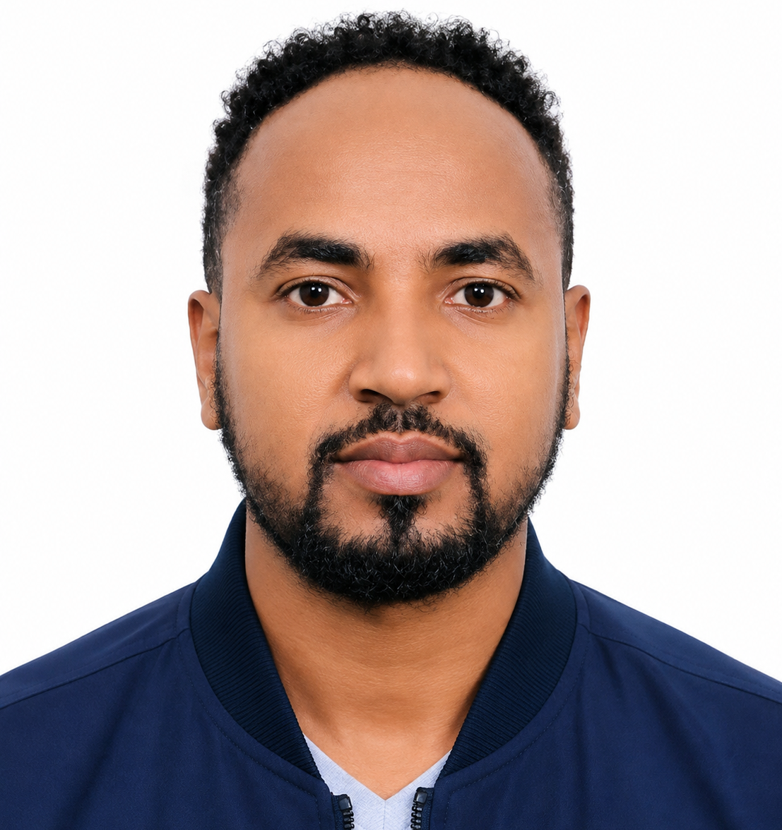
Professional Summary
Ethiopian water resources and geo-informatics professional with an MSc in Geo-information Science and Earth Observation from the University of Twente (ITC), an MSc in Hydraulic Engineering from Hawassa University, and a BSc in Water Resources and Irrigation Engineering from Arba Minch University. His work at Ethiopian Engineering Corporation includes UAV LiDAR, multispectral and RGB field data acquisition, geospatial analysis, hydrological and hydraulic modelling, spatial databases and research applications in water resources. Previously he worked as an Assistant Lecturer at Arba Minch University. His research interests cover remote sensing, floods, land-use and land-cover change, drought, climate change and integrated water resources management. He is PMP-certified, an IAHS member, and a co-author of peer-reviewed studies on SAR-based flood mapping, erosion risk assessment and urban land information systems.
Key Expertise
Major Projects and Contributions
-
Geo-informatics Expert - Ethiopian Engineering Corporation (2022-present)
Conducts field data collection using UAV LiDAR, multispectral and RGB imagery; processes and analyzes geospatial data for water resources projects; prepares reports and contributes to applied water-resources research. -
Hydro-informatics Expert - Ethiopian Engineering Corporation (2018-2020)
Performed geospatial analysis and hydrologic and hydraulic modelling; integrated GIS, remote sensing and simulation-model data for decision support; developed, updated and maintained spatial databases. -
Assistant Lecturer - Arba Minch University (2013-2016)
Delivered lectures and tutoring in GIS, remote sensing, hydrology, hydraulics, drainage engineering and water resources management; participated in research and volunteer activities. -
MSc Thesis - Flood Mapping and Water Level Estimation Using Sentinel-1 SAR
Master of Science research in Geo-information Science and Earth Observation, University of Twente - ITC (2016-2018): Flood Mapping and Water Level Estimation Using Multi-temporal Sentinel-1 SAR. -
MSc Thesis - Dam Breach Analysis and Flood Inundation Mapping
Master of Science research in Hydraulic Engineering, Hawassa University (2014-2016): Dam Breach Analysis and Flood Inundation Mapping. -
2025 Publication - SAR and MNDWI Flood Extent Evaluation
Co-author: Tassew, G. T., Mitiku, A. B., Mekonnen, T. M., Geleta, F. B. and Woldemichael, A. T. (2025), Evaluating flood extent using synthetic aperture radar (SAR) and modified normalized difference water index (MNDWI) methods, Remote Sensing in Earth Systems Sciences, 8, 673-695. DOI: 10.1007/s41976-025-00211-w. -
2020 Publication - Erosion Risk Assessment, Yisir Watershed
Co-author: Belay, H. T., Malede, D. A. and Geleta, F. B. (2020), Erosion Risk Potential Assessment Using GIS and RS for Soil and Water Resource Conservation Plan: The Case of Yisir Watershed, Northwestern Ethiopia, Agriculture, Forestry and Fisheries, 9(1), 1-13. DOI: 10.11648/j.aff.20200901.11. -
2019 Publication - Urban Land Information System Using PostgreSQL
Co-author: Tula, A. K. and Geleta, F. B. (2019), Building urban land information management system in PostgreSQL, for the case of Ethiopia, Journal of Communication and Computer, 15, 25-37. DOI: 10.17265/1548-7709/2019.01.003.
 Scan to download
 Official Google Play version
 Join the AExperts